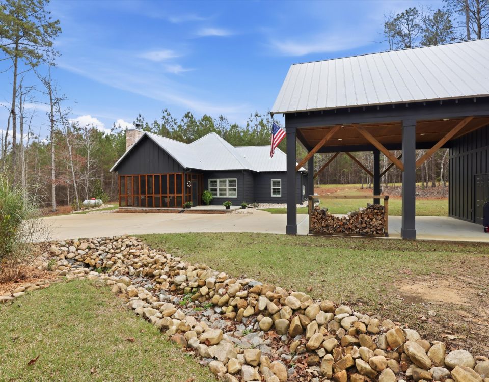
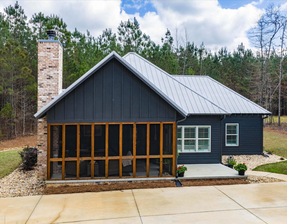
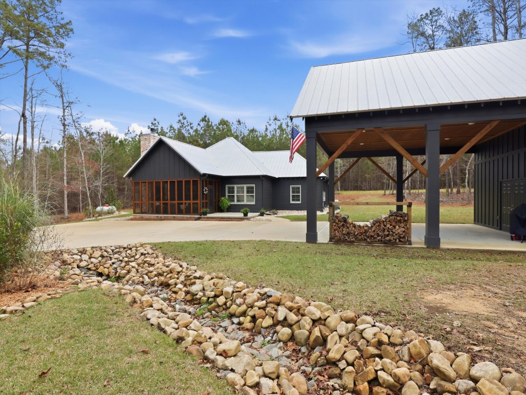
New Construction
May 29, 2026
Price Drop at 284 Harbor View Blvd — Now $465,000 If you’ve been looking for a more affordable way into the Lake Martin market, this price […]
May 21, 2026

Art on the Lake Returns Memorial Day Weekend Memorial Day weekend is one of the most anticipated times of the season at Lake Martin, and it […]
April 24, 2026
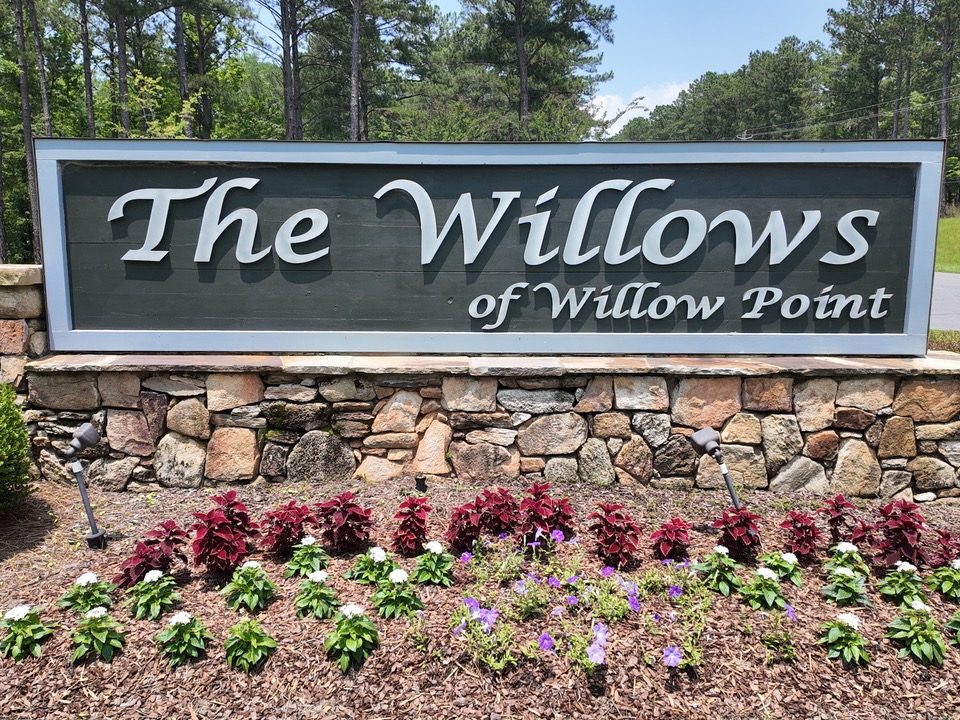
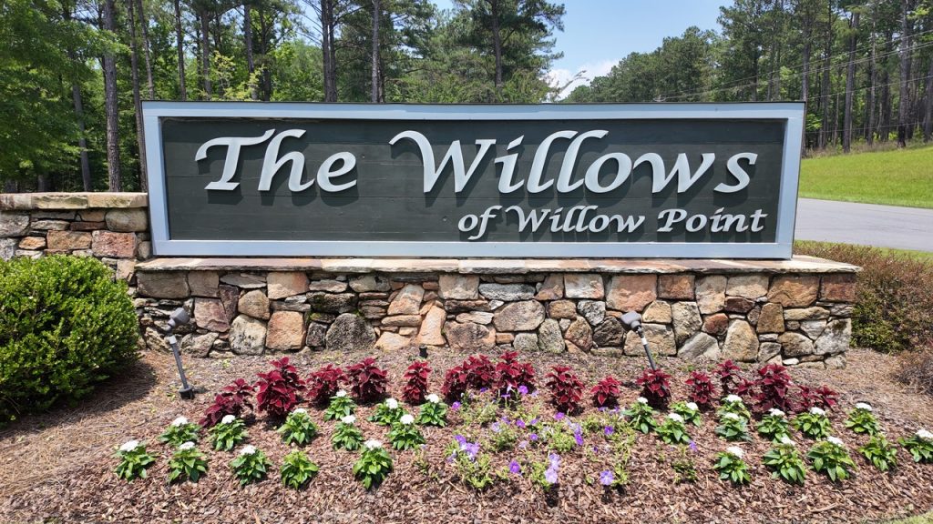
The Willows Waterfront Neighborhood The Willows is a gated waterfront neighborhood on the west side of Lake Martin in Alexander City, Alabama. As you might have […]
April 19, 2026
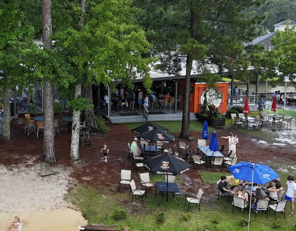
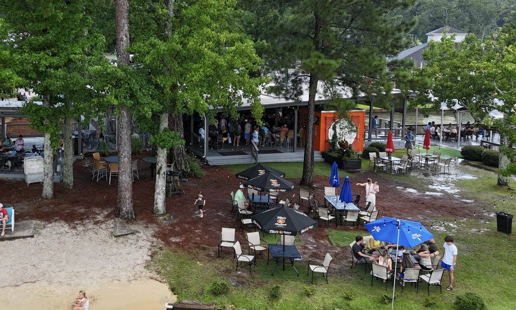
The Landing Restaurants Now Open Great news for Lake Martin locals and visitors, The Landing Restaurants are now open for the season! If you know Lake […]
April 10, 2026

Boating Safety Course at The Ridge Looking to learn more about boating safety on Lake Martin Alabama? Then, make sure to mark your calendars for the […]
April 7, 2026

Chuck’s Reopening on Lake Martin Get ready for another season of great food on the lake! Chuck’s in Dadeville, Alabama, is a great restaurant that many […]
April 1, 2026

Lego Block Seawalls Explained Did you know that seawalls are a super important part of real estate on Lake Martin, Alabama? In this blog, I’m breaking […]
March 27, 2026
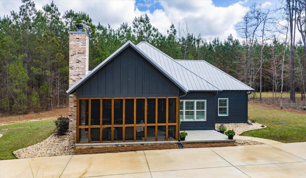
284 Harbor View Blvd | Dadeville, Alabama If you have been looking for a way to plug into the Lake Martin lifestyle with water access and […]